Heavy Rain and Flooding Threaten Southern England and Wales
In This Article
HIGHLIGHTS
- The Met Office has issued a yellow weather warning for heavy rain across southern England and Wales from Thursday evening to Friday noon.
- Up to 70mm of rain is expected in some coastal areas, with potential flooding and transport disruptions likely.
- The warning follows a summer marked by record heatwaves, with the UK experiencing its hottest summer on record.
- Residents in affected areas are advised to prepare for possible flooding and longer travel times due to road and rail disruptions.
- The dry conditions from the summer increase the risk of flash flooding as the ground is less absorbent.
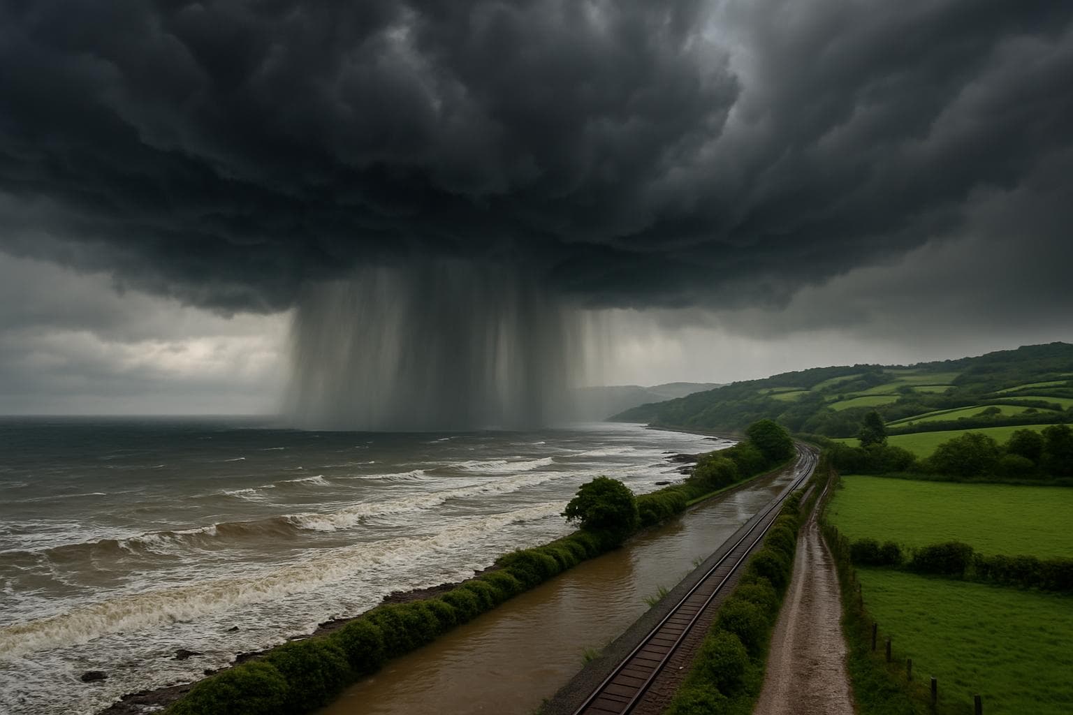
The Met Office has issued a yellow weather warning for heavy rain across southern England and Wales, set to disrupt the region from Thursday evening through Friday noon. This warning comes as the UK concludes a summer that has been marked by unprecedented heatwaves, with provisional data suggesting it was the hottest on record.
Weather Warning Details
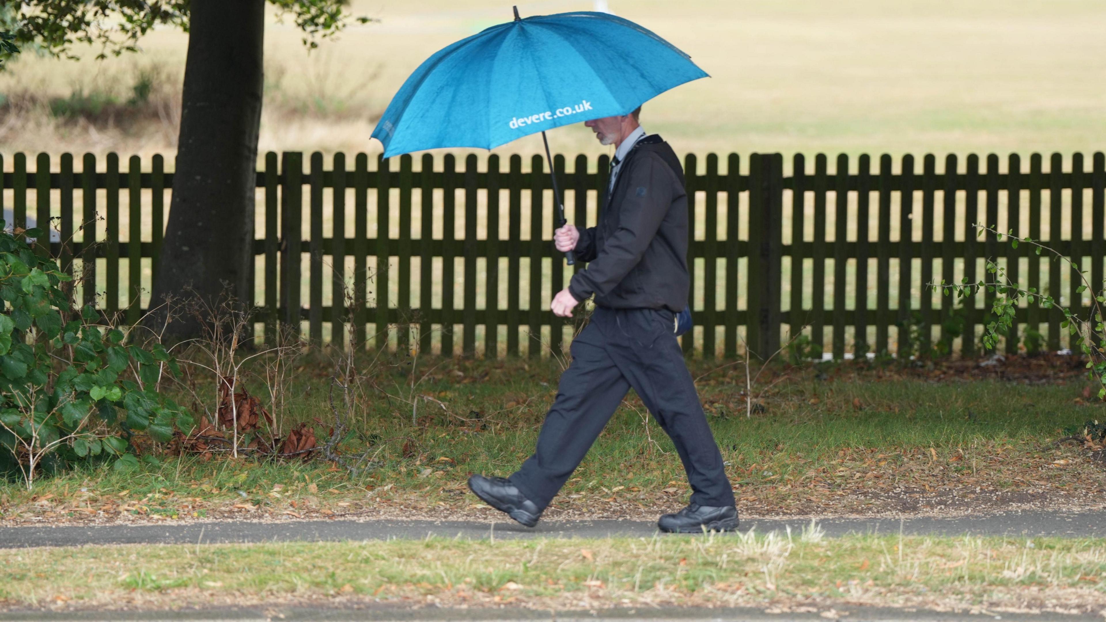
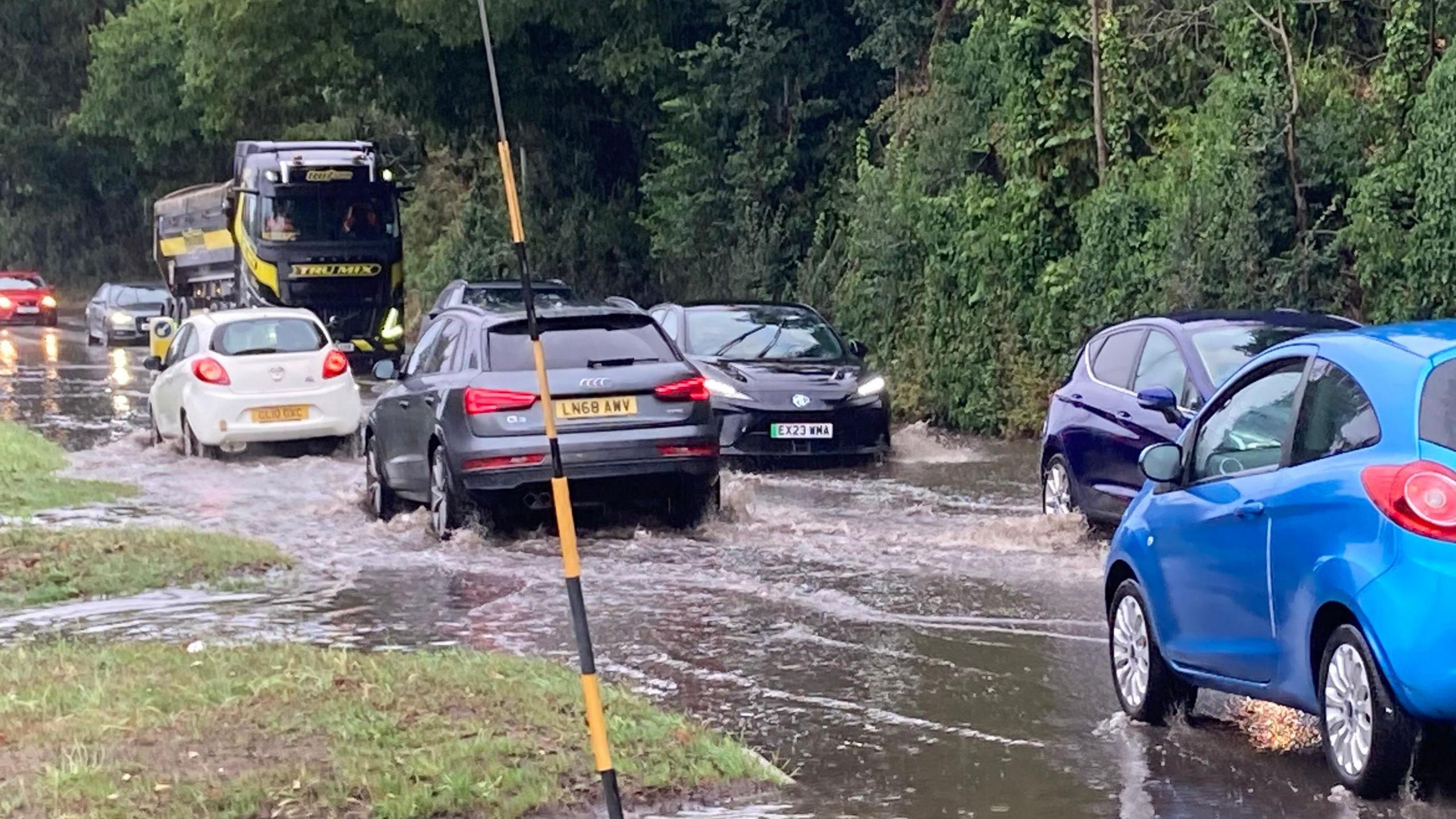
The warning, which begins at 22:00 BST on Thursday and ends at 12:00 on Friday, affects areas including Kent, Sussex, Surrey, and parts of southern Wales. The Met Office predicts that up to 70mm of rain could fall in some coastal areas within a few hours, leading to potential flooding and transport disruptions. "Flooding of a few homes and businesses is likely," a Met Office spokesperson stated, emphasizing the risk of flash flooding due to the dry summer conditions.
Impact on Transport and Infrastructure
The heavy rain is expected to cause significant disruptions to transport systems. Bus and train services are likely to be affected, with longer journey times anticipated. Motorists are advised to exercise caution as spray and flooding on roads could further delay travel. Residents and businesses in the affected areas are encouraged to check for flood risks and take necessary precautions.
Record-Breaking Summer Heat
This weather warning follows a summer that saw the UK experience its hottest temperatures on record. The highest temperature, 35.8C, was recorded in Faversham, Kent, on July 1. The Met Office's provisional statistics indicate that the mean average temperature for the season was 16.13C, potentially making it the warmest summer since records began. This trend highlights the increasing frequency of extreme weather events in the UK.
WHAT THIS MIGHT MEAN
As the heavy rain moves eastward, the immediate concern is the potential for flash flooding, particularly in coastal areas where the ground remains parched from the summer heat. The Met Office's warning underscores the need for improved infrastructure resilience to cope with such extreme weather patterns. Looking ahead, the UK may need to adapt its urban planning and emergency response strategies to mitigate the impacts of increasingly volatile weather conditions. Experts suggest that this summer's record temperatures and subsequent rainfall could prompt further discussions on climate change adaptation and the importance of sustainable water management practices.
Images from the Web
Related Articles

Saharan Dust to Illuminate UK Skies with Vivid Sunrises and Sunsets

Police Federation Chief Arrested Amid Fraud Investigation

Canada and Australia Forge Strategic Partnership Amid Global Uncertainty

UK Government to Reform Asylum Seeker Support and Employment Policies

Sisters Tragically Drown at Eryri National Park's Watkin Path
Middle East Conflict Drives UK Energy Prices to New Highs
Heavy Rain and Flooding Threaten Southern England and Wales
In This Article
 Leila Hassan| Published
 HIGHLIGHTS
- The Met Office has issued a yellow weather warning for heavy rain across southern England and Wales from Thursday evening to Friday noon.
- Up to 70mm of rain is expected in some coastal areas, with potential flooding and transport disruptions likely.
- The warning follows a summer marked by record heatwaves, with the UK experiencing its hottest summer on record.
- Residents in affected areas are advised to prepare for possible flooding and longer travel times due to road and rail disruptions.
- The dry conditions from the summer increase the risk of flash flooding as the ground is less absorbent.
The Met Office has issued a yellow weather warning for heavy rain across southern England and Wales, set to disrupt the region from Thursday evening through Friday noon. This warning comes as the UK concludes a summer that has been marked by unprecedented heatwaves, with provisional data suggesting it was the hottest on record.
Weather Warning Details
The warning, which begins at 22:00 BST on Thursday and ends at 12:00 on Friday, affects areas including Kent, Sussex, Surrey, and parts of southern Wales. The Met Office predicts that up to 70mm of rain could fall in some coastal areas within a few hours, leading to potential flooding and transport disruptions. "Flooding of a few homes and businesses is likely," a Met Office spokesperson stated, emphasizing the risk of flash flooding due to the dry summer conditions.
Impact on Transport and Infrastructure
The heavy rain is expected to cause significant disruptions to transport systems. Bus and train services are likely to be affected, with longer journey times anticipated. Motorists are advised to exercise caution as spray and flooding on roads could further delay travel. Residents and businesses in the affected areas are encouraged to check for flood risks and take necessary precautions.
Record-Breaking Summer Heat
This weather warning follows a summer that saw the UK experience its hottest temperatures on record. The highest temperature, 35.8C, was recorded in Faversham, Kent, on July 1. The Met Office's provisional statistics indicate that the mean average temperature for the season was 16.13C, potentially making it the warmest summer since records began. This trend highlights the increasing frequency of extreme weather events in the UK.
WHAT THIS MIGHT MEAN
As the heavy rain moves eastward, the immediate concern is the potential for flash flooding, particularly in coastal areas where the ground remains parched from the summer heat. The Met Office's warning underscores the need for improved infrastructure resilience to cope with such extreme weather patterns. Looking ahead, the UK may need to adapt its urban planning and emergency response strategies to mitigate the impacts of increasingly volatile weather conditions. Experts suggest that this summer's record temperatures and subsequent rainfall could prompt further discussions on climate change adaptation and the importance of sustainable water management practices.
Images from the Web
Related Articles
Saharan Dust to Illuminate UK Skies with Vivid Sunrises and Sunsets
Police Federation Chief Arrested Amid Fraud Investigation
Canada and Australia Forge Strategic Partnership Amid Global Uncertainty
UK Government to Reform Asylum Seeker Support and Employment Policies
Sisters Tragically Drown at Eryri National Park's Watkin Path
Middle East Conflict Drives UK Energy Prices to New Highs