Texas Flash Floods Highlight Challenges in Extreme Weather Forecasting
In This Article
HIGHLIGHTS
- Nearly 80 people have died in Texas due to flash floods, with Kerr County being the hardest hit area.
- The Guadalupe River rose by 26 feet in 45 minutes, causing catastrophic flooding.
- Despite warnings, the severity of the floods was unexpected, highlighting challenges in extreme weather forecasting.
- The National Weather Service issued multiple warnings, but communication issues and desensitization to alerts were noted.
- Climate change and the region's topography exacerbate the risk of flash floods in Texas's "Flash Flood Alley."
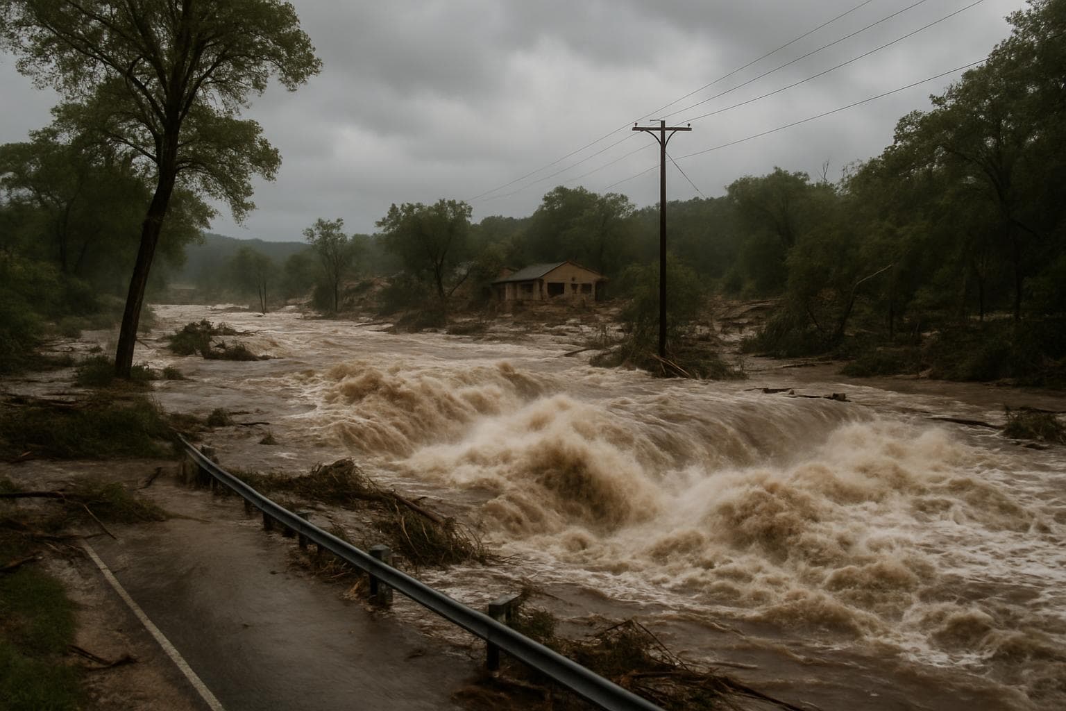
Catastrophic flash floods have claimed nearly 80 lives in central Texas, with Kerr County bearing the brunt of the devastation. The Guadalupe River, a central feature of the region, surged by an unprecedented 26 feet within just 45 minutes, inundating homes and sweeping away vehicles. This natural disaster has raised critical questions about the effectiveness of current flood warning systems and the broader implications of climate change on extreme weather events.
Unexpected Deluge in Kerr County
The flash floods, which began late Thursday and continued into Friday, have left a trail of destruction, particularly in Kerr County, where a girls' summer camp was tragically affected. Judge Rob Kelly, a leading official in the county, expressed shock at the severity of the flooding, noting that there was no prior indication of such an extreme event. Despite the Texas Division of Emergency Management activating state resources and the National Weather Service (NWS) issuing a flood watch, the scale of the disaster was unforeseen.
Challenges in Forecasting and Communication
The NWS had issued a series of warnings, including a flash flood warning for Kerr County early Friday morning. However, communication issues, such as limited cell phone coverage and public desensitization to frequent alerts, hampered effective dissemination of these warnings. Dalton Rice, Kerrville City Manager, highlighted the rapid escalation of the situation, noting that conditions appeared manageable until the river's sudden rise.
Impact of Climate Change and Regional Topography
The floods underscore the challenges of forecasting extreme weather in the context of the climate crisis. The Hill Country region, often referred to as "Flash Flood Alley," is particularly vulnerable due to its hilly terrain and the influence of tropical moisture. Meteorologists have noted that the intensity of the rainfall, exacerbated by remnants of tropical storm Barry, was rare and difficult to predict. The region's limestone and granite landscape further complicates water absorption, increasing runoff and flood risk.
Response and Future Considerations
As rescue efforts continue, with hundreds of people already saved from floodwaters, the focus shifts to improving disaster preparedness and response. The NWS, despite staffing shortages, has defended its actions, emphasizing the rarity of such events. Governor Greg Abbott acknowledged the challenges, noting that while Texans are accustomed to flash flood warnings, the magnitude of this event was unprecedented.
WHAT THIS MIGHT MEAN
The recent floods in Texas highlight the urgent need for enhanced flood warning systems and improved communication strategies. As climate change continues to increase the frequency and intensity of extreme weather events, local and state authorities may need to invest in more robust infrastructure and public education campaigns to ensure timely and effective responses. Additionally, addressing staffing shortages within the National Weather Service could enhance forecasting capabilities, potentially mitigating the impact of future disasters. The events in Texas serve as a stark reminder of the broader implications of climate change, necessitating coordinated efforts to adapt to an increasingly volatile climate.
Related Articles

Historic Nor'easter Storm Paralyzes US North-East with Blizzard Warnings and Travel Bans
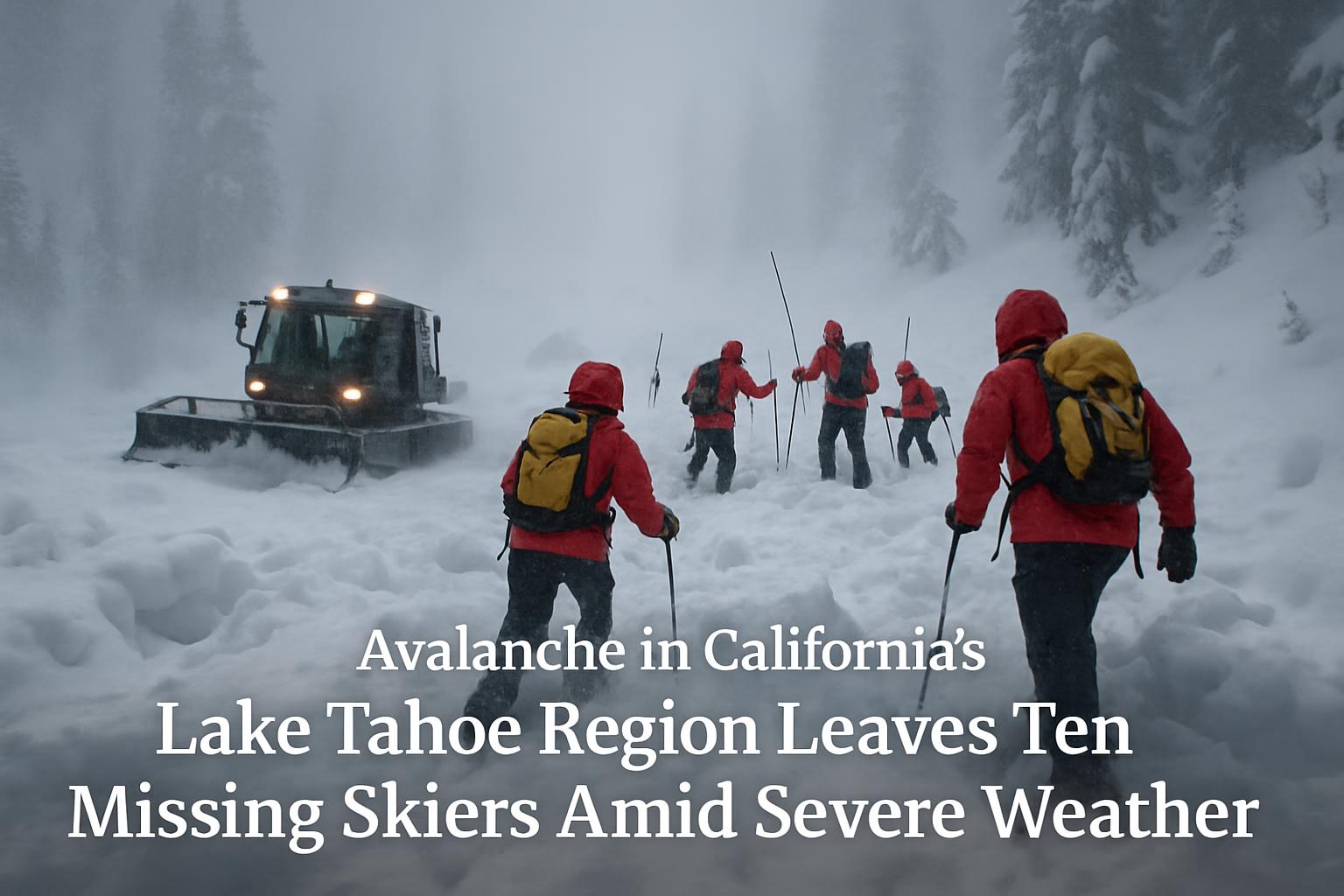
California Avalanche Leaves Ten Skiers Missing Amid Severe Weather

Historic Cold Snap in New York City Claims 18 Lives

Bomb Cyclone Paralyzes Eastern US with Snow and Freezing Temperatures

James Talarico Secures Democratic Nomination in Texas Senate Race Amidst Republican Runoff

House Passes Controversial SAVE America Act Amid Voter Suppression Concerns
Texas Flash Floods Highlight Challenges in Extreme Weather Forecasting
In This Article
 Leila Hassan| Published
 HIGHLIGHTS
- Nearly 80 people have died in Texas due to flash floods, with Kerr County being the hardest hit area.
- The Guadalupe River rose by 26 feet in 45 minutes, causing catastrophic flooding.
- Despite warnings, the severity of the floods was unexpected, highlighting challenges in extreme weather forecasting.
- The National Weather Service issued multiple warnings, but communication issues and desensitization to alerts were noted.
- Climate change and the region's topography exacerbate the risk of flash floods in Texas's "Flash Flood Alley."
Catastrophic flash floods have claimed nearly 80 lives in central Texas, with Kerr County bearing the brunt of the devastation. The Guadalupe River, a central feature of the region, surged by an unprecedented 26 feet within just 45 minutes, inundating homes and sweeping away vehicles. This natural disaster has raised critical questions about the effectiveness of current flood warning systems and the broader implications of climate change on extreme weather events.
Unexpected Deluge in Kerr County
The flash floods, which began late Thursday and continued into Friday, have left a trail of destruction, particularly in Kerr County, where a girls' summer camp was tragically affected. Judge Rob Kelly, a leading official in the county, expressed shock at the severity of the flooding, noting that there was no prior indication of such an extreme event. Despite the Texas Division of Emergency Management activating state resources and the National Weather Service (NWS) issuing a flood watch, the scale of the disaster was unforeseen.
Challenges in Forecasting and Communication
The NWS had issued a series of warnings, including a flash flood warning for Kerr County early Friday morning. However, communication issues, such as limited cell phone coverage and public desensitization to frequent alerts, hampered effective dissemination of these warnings. Dalton Rice, Kerrville City Manager, highlighted the rapid escalation of the situation, noting that conditions appeared manageable until the river's sudden rise.
Impact of Climate Change and Regional Topography
The floods underscore the challenges of forecasting extreme weather in the context of the climate crisis. The Hill Country region, often referred to as "Flash Flood Alley," is particularly vulnerable due to its hilly terrain and the influence of tropical moisture. Meteorologists have noted that the intensity of the rainfall, exacerbated by remnants of tropical storm Barry, was rare and difficult to predict. The region's limestone and granite landscape further complicates water absorption, increasing runoff and flood risk.
Response and Future Considerations
As rescue efforts continue, with hundreds of people already saved from floodwaters, the focus shifts to improving disaster preparedness and response. The NWS, despite staffing shortages, has defended its actions, emphasizing the rarity of such events. Governor Greg Abbott acknowledged the challenges, noting that while Texans are accustomed to flash flood warnings, the magnitude of this event was unprecedented.
WHAT THIS MIGHT MEAN
The recent floods in Texas highlight the urgent need for enhanced flood warning systems and improved communication strategies. As climate change continues to increase the frequency and intensity of extreme weather events, local and state authorities may need to invest in more robust infrastructure and public education campaigns to ensure timely and effective responses. Additionally, addressing staffing shortages within the National Weather Service could enhance forecasting capabilities, potentially mitigating the impact of future disasters. The events in Texas serve as a stark reminder of the broader implications of climate change, necessitating coordinated efforts to adapt to an increasingly volatile climate.
Related Articles
Historic Nor'easter Storm Paralyzes US North-East with Blizzard Warnings and Travel Bans
California Avalanche Leaves Ten Skiers Missing Amid Severe Weather
Historic Cold Snap in New York City Claims 18 Lives
Bomb Cyclone Paralyzes Eastern US with Snow and Freezing Temperatures
James Talarico Secures Democratic Nomination in Texas Senate Race Amidst Republican Runoff
House Passes Controversial SAVE America Act Amid Voter Suppression Concerns