Hurricane Erin Threatens US East Coast with Dangerous Surf and Rip Currents

In This Article
HIGHLIGHTS
- Hurricane Erin, the first of the 2025 Atlantic season, has intensified to a Category 4 storm, threatening the US East Coast with dangerous surf and rip currents.
- The storm has already caused power outages for over 150,000 people in Puerto Rico, with most services restored by Monday morning.
- Erin is expected to bring up to six inches of rain to the Turks and Caicos and the southeastern Bahamas, where a tropical storm warning is in effect.
- Authorities in North Carolina's Outer Banks have ordered evacuations due to anticipated heavy surf and high winds.
- The US National Hurricane Center warns that Erin will remain a large and dangerous hurricane as it moves between Bermuda and the US East Coast.
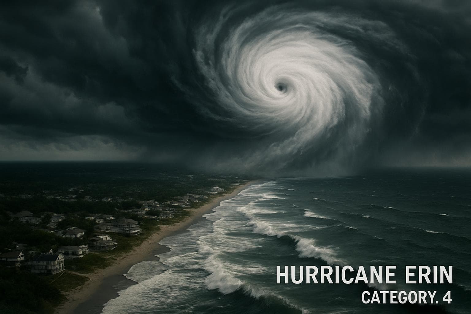
Hurricane Erin, the first major storm of the 2025 Atlantic hurricane season, has intensified to a Category 4 storm, posing significant threats to the US East Coast. The storm, which briefly reached Category 5 status, is currently generating maximum sustained winds of 130 mph (210 km/h) as it moves northwest, according to the US National Hurricane Center (NHC).
Impact on the Caribbean
The storm's outer bands have already impacted Puerto Rico, leaving over 150,000 residents without power due to high winds and heavy rains. Luma Energy, the island's power company, reported that by Monday morning, 96.3% of customers had their electricity restored. In the Turks and Caicos and southeastern Bahamas, where a tropical storm warning is in effect, Erin is expected to deliver up to six inches of rain, prompting local authorities to prepare for potential evacuations.
US East Coast Preparations
As Erin approaches, the US East Coast braces for life-threatening surf and rip currents. The Outer Banks of North Carolina, particularly Hatteras Island, are under a mandatory evacuation order due to the risk of heavy surf and high winds. The main highway connecting Hatteras to other islands could become impassable, authorities warn.
Forecast and Warnings
The NHC forecasts that Erin will remain a large and dangerous hurricane as it moves between Bermuda and the US East Coast. Although not expected to make direct landfall, the storm's expansive reach means coastal areas could still experience significant impacts. Dangerous ocean conditions are anticipated for the Bahamas, Bermuda, and the US East Coast, with life-threatening rip currents expected to persist into midweek.
WHAT THIS MIGHT MEAN
As Hurricane Erin continues its path, the potential for further intensification remains a concern, although gradual weakening is expected later in the week. The storm's trajectory suggests it will avoid direct landfall, but its size and strength could still cause significant coastal damage. Emergency services and local governments along the East Coast are on high alert, preparing for possible evacuations and infrastructure impacts.
Experts emphasize the importance of monitoring such storms closely, as their behavior can be unpredictable. The rapid intensification of hurricanes like Erin has been linked to climate change, underscoring the need for robust preparedness and response strategies in vulnerable regions. As the hurricane season progresses, communities are urged to stay informed and heed official warnings to ensure safety.
Related Articles

Bomb Cyclone Paralyzes Eastern US with Snow and Freezing Temperatures

Willie Colón: The Salsa Legend Who Transformed Latin Music Passes Away at 75

Bad Bunny's Super Bowl Performance: A Celebration of Puerto Rican Culture and Latino Unity

Bad Bunny's Super Bowl Show: A Celebration of Puerto Rican Culture and Unity

Supreme Court Upholds California's New Voting Map, Boosting Democratic Prospects

Chinese Whistleblower Granted Asylum in US After Exposing Xinjiang Abuses
Hurricane Erin Threatens US East Coast with Dangerous Surf and Rip Currents

In This Article
 Leila Hassan| Published
 HIGHLIGHTS
- Hurricane Erin, the first of the 2025 Atlantic season, has intensified to a Category 4 storm, threatening the US East Coast with dangerous surf and rip currents.
- The storm has already caused power outages for over 150,000 people in Puerto Rico, with most services restored by Monday morning.
- Erin is expected to bring up to six inches of rain to the Turks and Caicos and the southeastern Bahamas, where a tropical storm warning is in effect.
- Authorities in North Carolina's Outer Banks have ordered evacuations due to anticipated heavy surf and high winds.
- The US National Hurricane Center warns that Erin will remain a large and dangerous hurricane as it moves between Bermuda and the US East Coast.
Hurricane Erin, the first major storm of the 2025 Atlantic hurricane season, has intensified to a Category 4 storm, posing significant threats to the US East Coast. The storm, which briefly reached Category 5 status, is currently generating maximum sustained winds of 130 mph (210 km/h) as it moves northwest, according to the US National Hurricane Center (NHC).
Impact on the Caribbean
The storm's outer bands have already impacted Puerto Rico, leaving over 150,000 residents without power due to high winds and heavy rains. Luma Energy, the island's power company, reported that by Monday morning, 96.3% of customers had their electricity restored. In the Turks and Caicos and southeastern Bahamas, where a tropical storm warning is in effect, Erin is expected to deliver up to six inches of rain, prompting local authorities to prepare for potential evacuations.
US East Coast Preparations
As Erin approaches, the US East Coast braces for life-threatening surf and rip currents. The Outer Banks of North Carolina, particularly Hatteras Island, are under a mandatory evacuation order due to the risk of heavy surf and high winds. The main highway connecting Hatteras to other islands could become impassable, authorities warn.
Forecast and Warnings
The NHC forecasts that Erin will remain a large and dangerous hurricane as it moves between Bermuda and the US East Coast. Although not expected to make direct landfall, the storm's expansive reach means coastal areas could still experience significant impacts. Dangerous ocean conditions are anticipated for the Bahamas, Bermuda, and the US East Coast, with life-threatening rip currents expected to persist into midweek.
WHAT THIS MIGHT MEAN
As Hurricane Erin continues its path, the potential for further intensification remains a concern, although gradual weakening is expected later in the week. The storm's trajectory suggests it will avoid direct landfall, but its size and strength could still cause significant coastal damage. Emergency services and local governments along the East Coast are on high alert, preparing for possible evacuations and infrastructure impacts.
Experts emphasize the importance of monitoring such storms closely, as their behavior can be unpredictable. The rapid intensification of hurricanes like Erin has been linked to climate change, underscoring the need for robust preparedness and response strategies in vulnerable regions. As the hurricane season progresses, communities are urged to stay informed and heed official warnings to ensure safety.
Related Articles

Bomb Cyclone Paralyzes Eastern US with Snow and Freezing Temperatures

Willie Colón: The Salsa Legend Who Transformed Latin Music Passes Away at 75

Bad Bunny's Super Bowl Performance: A Celebration of Puerto Rican Culture and Latino Unity

Bad Bunny's Super Bowl Show: A Celebration of Puerto Rican Culture and Unity

Supreme Court Upholds California's New Voting Map, Boosting Democratic Prospects

Chinese Whistleblower Granted Asylum in US After Exposing Xinjiang Abuses
